


Shipping:
Free Shipping Included
Delivery:
Estimated 2-15 Business Days
Payments:
Credit Card, Check, Cash, PayPal, Apple Pay, Venmo
Returns:
30 Days 100% Money Back Guarantee, Buyer Pays Return Shipping
Description
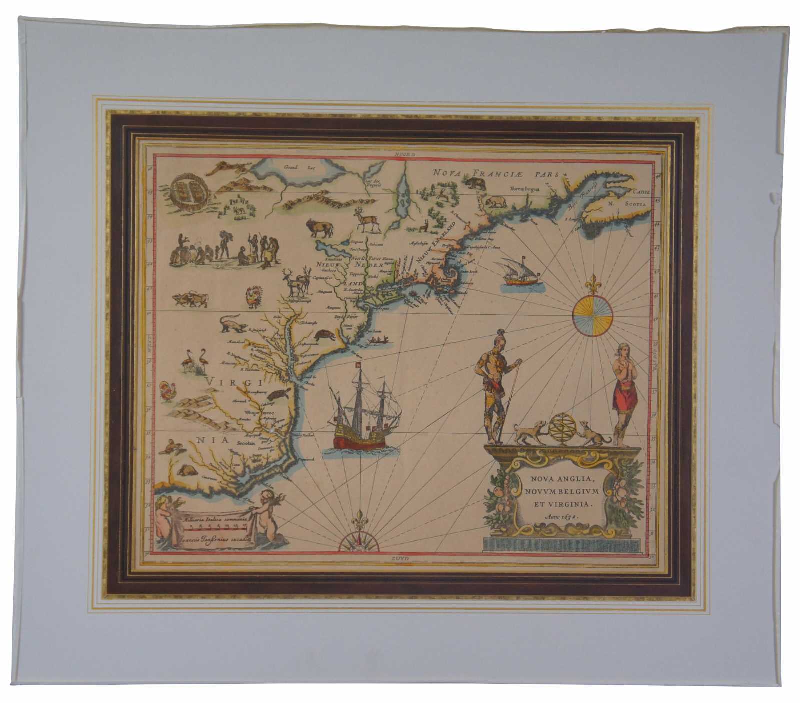
MCH5
"Mapmakers: Hessel Gerritsz & Joannes de Laet
This map illustrates an important shift in the broader European culture. Wytfliet’s speculations, often inaccurate and certainly incomplete, reflect the long tradition of rhetorical values. De Laet provides for the practical Dutch concrete accuracy and truth as experience. This map is the first accurate depiction of the East Coast. It is the first printed map of New Netherland and the first to print the place names of New Amsterdam and Manhattan. The latter is accurately depicted as an island.
Condition
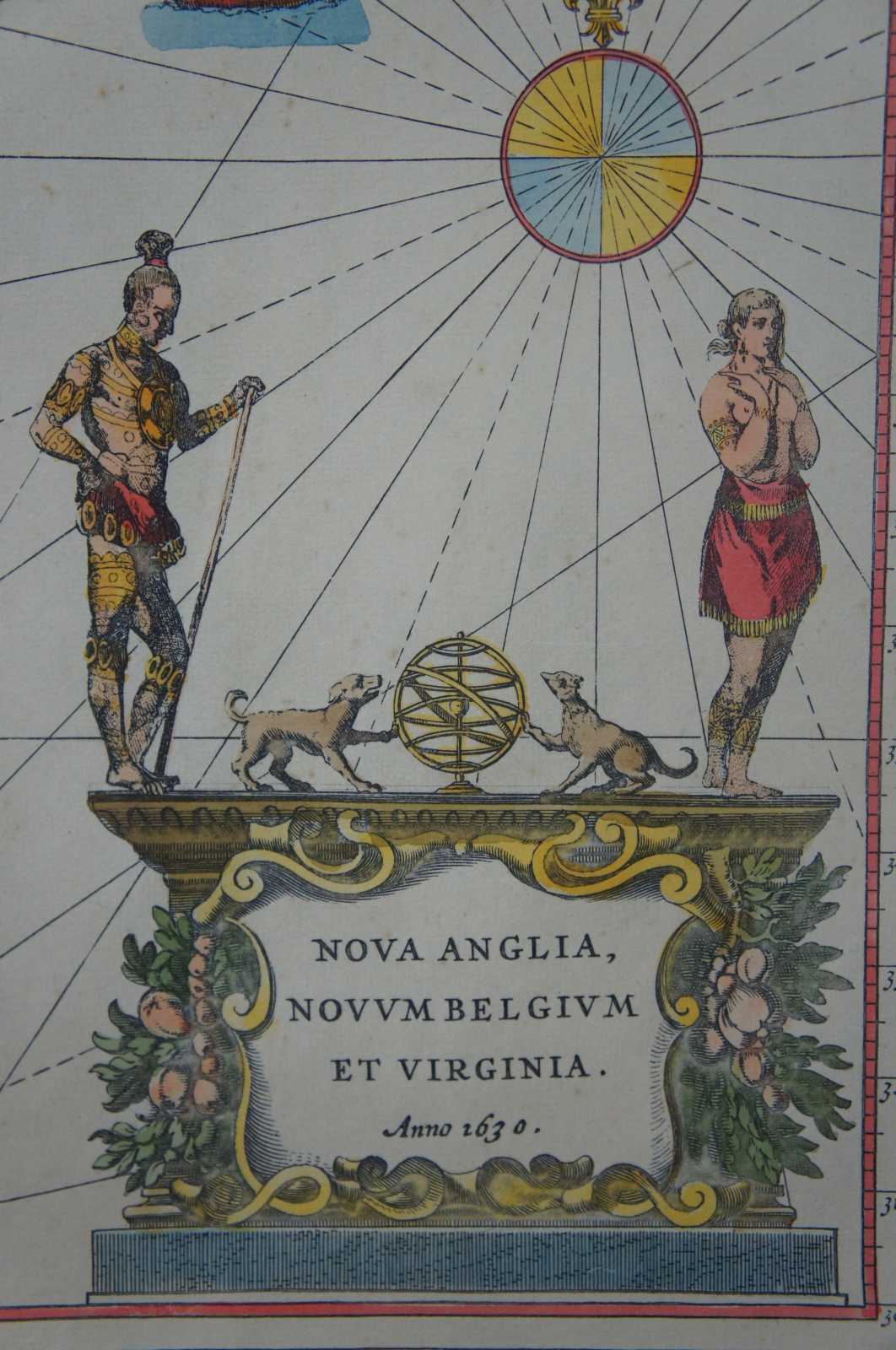
Very Good - light foxing to paper; see pictures
Dimensions
26.75” x 23” / Sans Mat - 18.75” x 15” (Width x Height)